Welcome to the Dawson Federal Electorate
Visit communities in the electorate

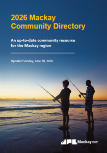 Click to download the Mackay PDF Community Directory
Community Support
Connect with your local member on the topics that matter most in Dawson Community.
About This Community
The federal electorate of Dawson has an approximate area of 15,000 km².
It is comprised of 100 suburbs including Airdmillan, Airville, Andergrove, Annandale, Ayr, Ball Bay, Balnagowan, Beaconsfield, Belmunda, Blacks Beach, Brandon, Brandy Creek, Breadalbane, Bucasia, Calen, Cannon Valley, Carstairs, Cluden, Colevale, Conway Beach, Cremorne, Cromarty, Crystal Brook, Cungulla and Dingo Beach plus parts of another 24 suburbs.
It is comprised of the localities of Andromache, Barratta, Bloomsbury, Bowen, Cape Cleveland, Cape Gloucester, Gregory River, Gumlu, Guthalungra, Kirknie, Kuttabul, Lake Proserpine, Mentmore, Mount Charlton, Rangemore, Wangaratta and Yalboroo plus parts of Alva, Bogie, Cape Conway, Eungella Hinterland, Majors Creek and Upper Haughton.
It is comprised of parts of the councils of Burdekin, Mackay and Whitsunday.
It is comprised of parts of the state electorates of Burdekin, Mackay, Mundingburra and Whitsunday.
It is surrounded by the federal electorates of Capricornia, Herbert and Kennedy.